
Community
Smoky skies, Redding’s fall colors, but Friday’s storm bringing change
Prescribed burns around Shasta County coincide with smoky skies over Redding. Friday’s rain and wind are expected to help disperse the haze.
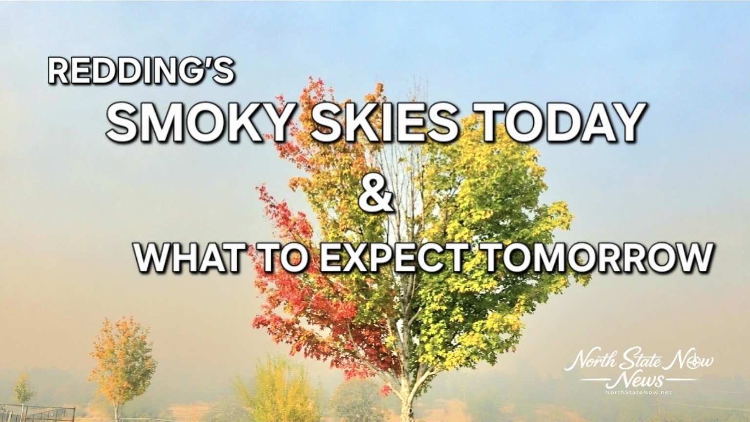
Redding’s trees seem unable to agree on the season, with bright red leaves on one side and summer green hanging on to the other. Overhead, a smoky haze is taking some of the sparkle out of the North State’s last mild weather before a wet and windy change.
The haze visible around Redding on Thursday, November 12th, comes during a week of prescribed fire projects in and around Shasta County. Several nearby burns have been announced, although their schedules do not establish exactly how much of Thursday’s smoke came from each location.
Relief could arrive with Friday’s storm. Rain and stronger winds are expected to help disperse the haze, trading muted sunshine for cooler temperatures and a much wetter view.
Where prescribed burns have been announced
At Whiskeytown National Recreation Area, a 700 acre prescribed burn was scheduled for November 9th and 10th between Whiskeytown Lake and Shasta Divide Ridge. The project is near the park’s eastern boundary and the community of Shasta, with the goal of reducing grass, brush and dead vegetation. Its announced ignition dates were earlier this week, rather than a confirmation of new burning Thursday.
Around Shasta Lake, the Forest Service scheduled the I-5 Underburn’s Elmore and Bailey Cove units to begin Thursday, November 12th, conditions permitting. The announced project covers 2,640 acres near Elmore Mountain and Bailey Cove. That figure describes the project area, not a confirmed amount burned today.
Other projects in the surrounding North State include the 2,000 acre Highway 89 Underburn about seven miles east of McCloud, north of Highway 89 near Ash Creek Station, and a 353 acre pile burning project on McFarland Ridge near Platina and Wildwood. Both were scheduled to begin as early as Tuesday, November 10th. The Forest Service said operations could continue into next week, depending on conditions and approvals.
The Bureau of Land Management also has seasonal pile burning planned around Old Shasta, the Rail Trail, Westside Trails, Swasey Recreation Area and Keswick Basin, plus a tentative broadcast burn in the Cloverdale Trail system. Those are fall and winter plans, not confirmation that every location is burning this week.
Friday brings a different kind of gray sky
The National Weather Service forecasts rain and a chance of afternoon thunderstorms Friday, November 13th, with Redding and Anderson temperatures falling into the upper 50s after Thursday’s milder weather.
A wind advisory covers the Shasta metro area from 4 a.m. to 7 p.m. Friday, with southerly gusts up to 45 mph. Loose outdoor items should be secured, and drivers should be prepared for gusty conditions. Tree limbs could fall and a few power outages are possible.
The forecast gives reason to expect smoke conditions to improve as the storm arrives. Wind can move and dilute smoke, while rain can remove some airborne particles. That is a weather based expectation, rather than a guarantee of clean air at every address. Shifting winds can move smoke into another neighborhood, and lingering burned material can continue to smolder.
For Redding, the outlook is a change from smoky autumn sunshine to rain, wind and cooler air. The haze should become less of an issue as the storm moves through, even if the fall colors have to wait for another sunny day to shine.
Residents can check AirNow’s Fire and Smoke Map for current local conditions. Burn schedules remain subject to weather checks and may change or be canceled.
Sources
Shasta-Trinity National Forest prescribed fire
Bureau of Land Management California prescribed fire plans
National Weather Service Sacramento zone forecast
National Weather Service wind advisory
National Weather Service explanation of weather and air quality