
Community
Magalia Prescribed Burns Planned Through November 1st, Smoke May Reach Paradise and Concow
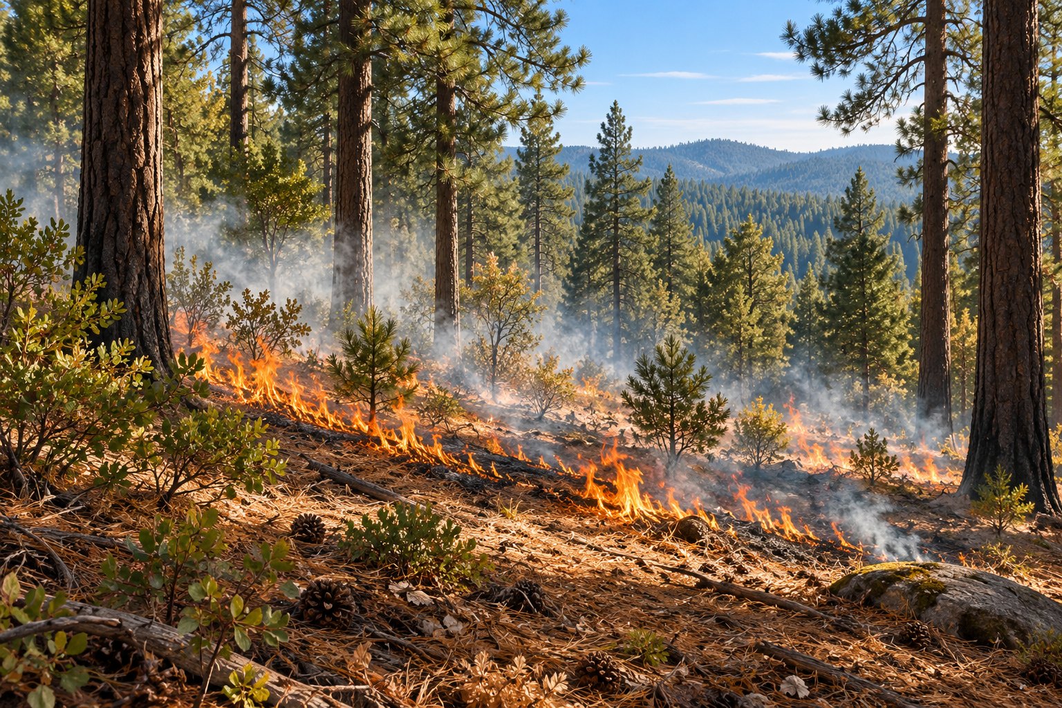
Smoke could be visible around Magalia, Paradise and Concow as several prescribed fire projects are planned in Butte County beginning Thursday, October 29th.
For residents watching the wooded hills around their neighborhoods, the timing and location matter. These are scheduled fuel reduction operations, with crews required to evaluate conditions before lighting them. A planned burn window does not confirm that a particular operation has started.
Two CAL FIRE projects scheduled through November 1st
CAL FIRE has identified two Magalia locations for its Tika and Rambling projects: Tika Lane near Nimshew Road and the end of Rambling Way.
Together, the projects cover 73 acres. The Tika portion accounts for 60 acres, while the remaining 13 acres are at Rambling. The announced operating window runs from October 29th through November 1st, with burning anticipated between approximately 9 AM and 5 PM each day.
The work is part of the Butte County Fire Safe Council’s Upper Ridge Fuels Reduction Project. Crews will assess weather and proceed only when it meets the conditions specified for the burns.
The local air district reports that the Rambling work will finish an area left unburned during an earlier operation because of concerns about smoke.
Separate operation planned at Coutolenc Park
A third project is scheduled in the Coutolenc Park area of Magalia. The Butte County Fire Safe Council’s notice describes a 22.3 acre understory burn, with CAL FIRE Butte County and the Terra Fuego Resource Foundation listed as partners.
The proposed ignition period is 11 AM to about 2 PM on October 29th, subject to conditions. Organizers plan a small initial test to assess smoke before proceeding with the larger operation.
Smoke from that project may be noticeable along Coutolenc Road and in nearby neighborhoods, as well as from Paradise and Concow. The notice anticipates most smoke clearing by Thursday evening, although some could collect in lower terrain overnight. Smoldering wood could produce additional smoke for several days.
The project is intended to reduce vegetation that can feed a wildfire and help protect homes along the Coutolenc Road evacuation route.
Tracking smoke and changing conditions
The Butte County Air Quality Management District plans to use a portable monitor to track emissions from the prescribed burns.
Weather and smoke conditions may change the schedule. The announced dates should not be treated as confirmation that every planned burn is underway.