
Community
El Niño Is Strengthening. What Could It Mean for Northern California This Winter?
NOAA confirms a strengthening El Niño heading into winter, but rainfall, flooding and snow impacts in Redding and the North State will depend on individual storms.
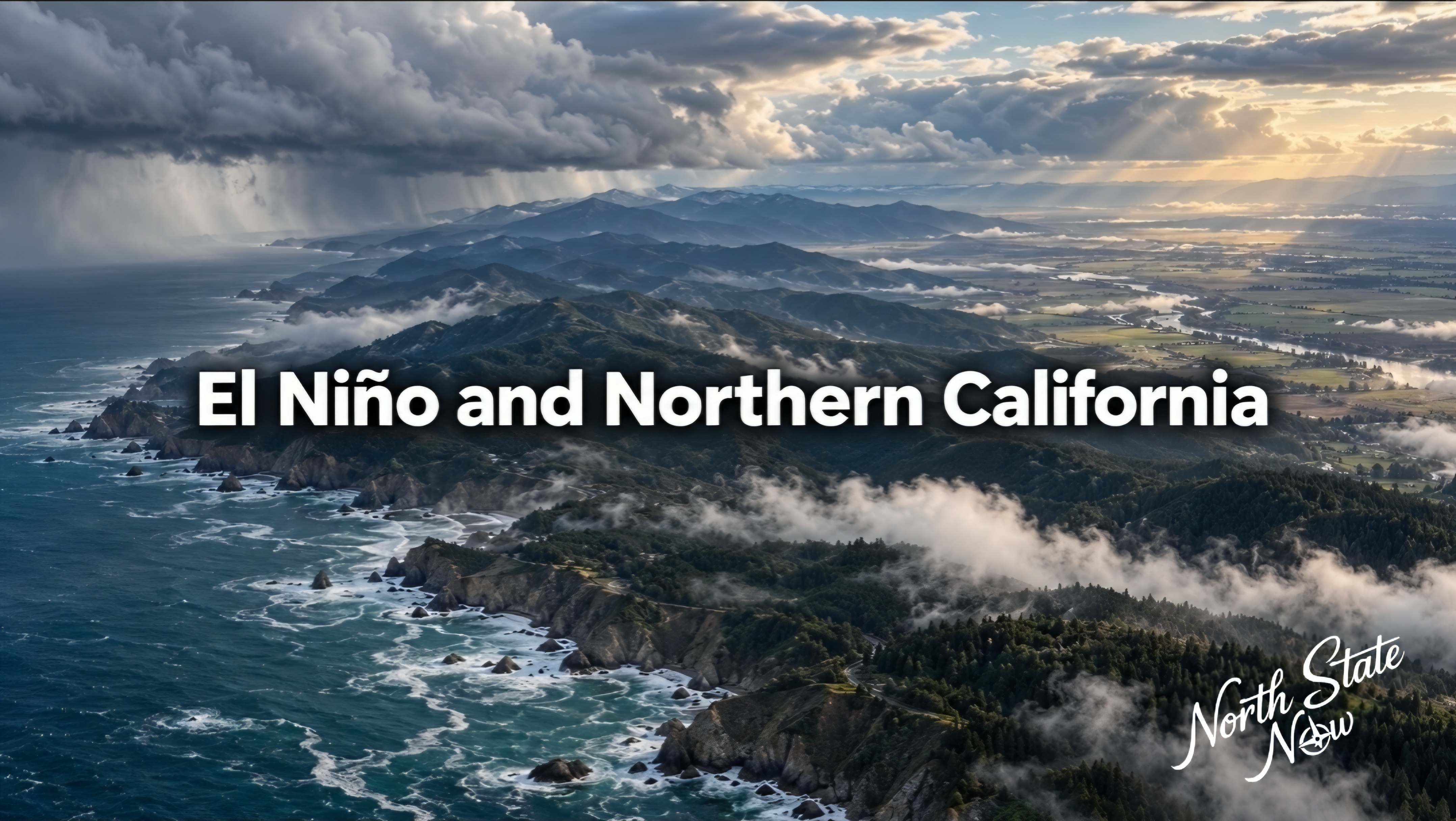
A strengthening El Niño is increasing attention on California's winter outlook, but warm Pacific waters do not provide a precise forecast of how much rain or snow will fall in Redding, Shasta County or the rest of Northern California.
NOAA's Climate Prediction Center maintained an El Niño Advisory in its October 8th discussion. Forecasters said the event was expected to remain strong to very strong through the January to March 2027 season, with a probability greater than 83 percent.
The warmest departures are concentrated in the tropical Pacific. Describing the entire Pacific Ocean as equally warm would overstate what the measurements show.
What the ocean readings show
The October discussion reported sea surface temperatures more than 4 degrees Celsius above average in portions of the eastern equatorial Pacific. The Niño 3.4 index, a key monitoring region, reached 2.1 degrees Celsius above average.
Forecasters also observed atmospheric changes consistent with El Niño, including wind and tropical rainfall patterns. It is the interaction between the ocean and atmosphere that can influence weather far beyond the tropics.
El Niño can shift the Pacific jet stream and change where winter storms travel. It is a seasonal climate pattern, rather than an individual storm.
What that means for the North State
The National Weather Service's Northern California guidance explains that El Niño's rainfall connection is generally stronger in Southern California. Northern California has a less consistent historical response.
A very strong event can increase the likelihood of expected effects, but it cannot guarantee heavy rainfall in every community. NOAA's winter outlook favors wetter conditions across the southern United States, including California, while emphasizing probabilities rather than a fixed outcome.
Redding, Chico, the northern Sacramento Valley, mountain communities and the North Coast can experience different conditions during the same storm.
Flooding and snow depend on the storms
The Weather Service's mid October California preparedness guide identifies potential hazards including heavy rain, drainage overflow, landslides and coastal erosion. These are possible outcomes, not a statement that every location will experience them.
Along the coast, elevated ocean levels can combine with high tides and storm waves. Inland flooding depends on rainfall, soil conditions, river flows and drainage.
Mountain snowpack also depends on storm temperatures and snow levels. A wet winter does not automatically produce unusually deep snow at every elevation.
What residents can do now
The Weather Service recommends clearing drainage systems and maintaining vulnerable infrastructure before winter storms arrive. Its guidance says the details of potential storms generally become clearer within forecasts covering the next one to two weeks.
Seasonal outlooks provide preparation context. Local forecasts, watches and warnings provide the information needed as individual storms approach.
View the National Weather Service California preparedness guide